
egeniouss presents its final results in Braunschweig
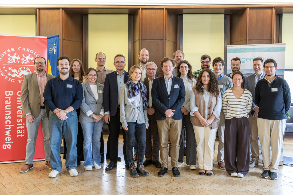
After four years of research and development, egeniouss celebrated its Final Demo and Press Event on 15 October 2026 at the Haus der Wissenschaft in Braunschweig, Germany. Hosted by Technische Universität Braunschweig, the event brought together project partners, researchers and external experts to present the project’s achievements and explore how its positioning technologies can be […]
Behind the Benchmark: A Conversation with Markus Gerke
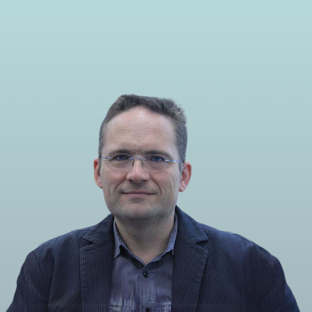
Sonia Ramudo (DEC Manager at CEL) asks: Can you explain what is egeniouss all about? Markus Gerke (Head of Institute of Geodesy and Photogrammetry at TUBS) answers: In egeniouss we are working on visual localisation, that is, we use images, taken from a smartphone or a UAV, which means “Unmanned Aerial Vehicle” to aid the […]
After whose astronomer is the European navigation satellite system named?

The European navigation satellite system is named after the astronomer Galileo Galilei. The system is called Galileo in his honor. Galileo Galilei was a pioneering astronomer and physicist whose work laid the foundations for modern astronomy and observational science.
Is it possible to see satellites with the naked eye?

Yes! You can observe “low Earth orbit” satellites with the naked eye, as they orbit at altitudes of several hundred kilometers above the Earth’s surface. The International Space Station (ISS) for example is one of the most visible satellites and can be seen with the naked eye. The ISS orbits the Earth at an altitude […]
How accurate do you think your smartphone’s location is under ideal conditions?

The answer is 5 to 10 m! The egeniouss project is crucial for enhancing geolocation accuracy and reliability. It is vital for applications requiring precise positioning, such as cycling, railway, urban planning, but also autonomous driving. , . Smartphone– based navigation generally provides location data with a range of 5 to 10 meters accuracy […]